|
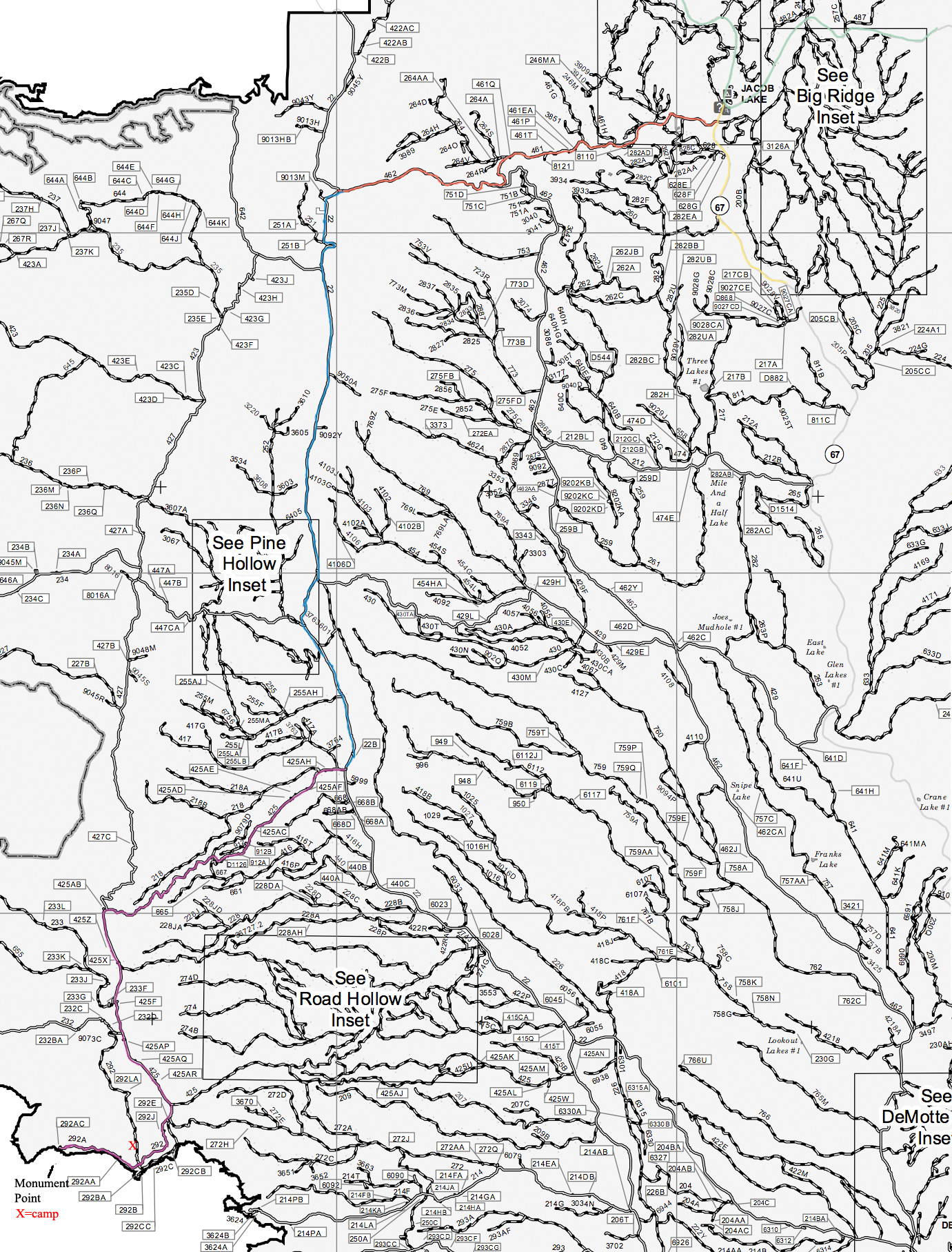
This plate of spaghetti is a road map of the North Kaibab National Forest. It lives at http://www.fs.usda.gov/Internet/FSE_DOCUMENTS/stelprd3805086.pdf. Highway 89A is the main road between Fredonia and Flagstaff. This is the road on which you will approach Jacob Lake. It is highlighted in a Pale Green color in the upper right hand corner on this map. |
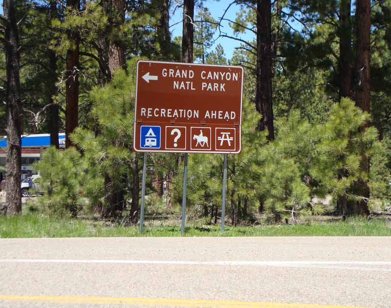 In Jacob Lake, Highway 89A intersects Highway 67 (highlighted on the above map in Yellow). A gas station/connivence store/tourist trap is situated to the west of this intersection. Highway 67 is a paved road leading to the commercial establishments located on the North Rim. |
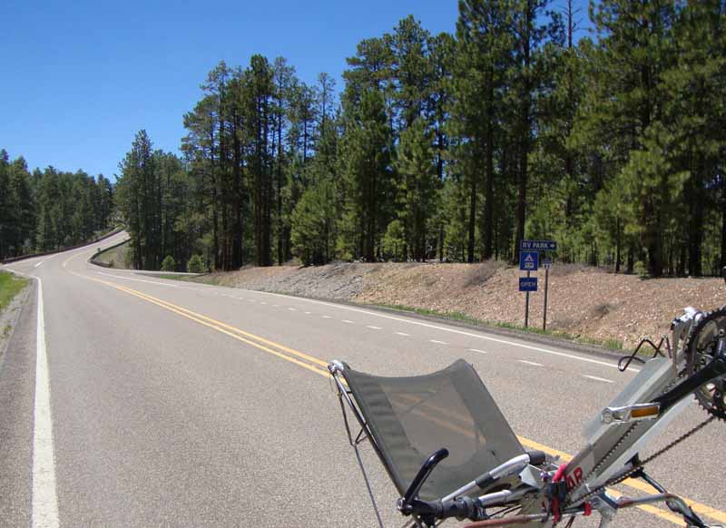 A short distance down Highway 67 (perhaps a couple of hundred yards) there is a road that turns off to the left. Other than announcing the presence of an RV Park, it is unmarked. Note: These photos were taken on a return trip, and our vehicle is pointed in the opposite direction of one going to the Bill Hall Trailhead (which is also called, "Monument Point.") |
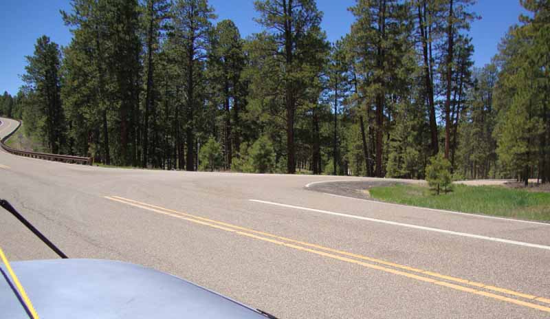 This is a closer view of the same intersection. After the turn, the road shortly becomes dirt, and is designated 461. (It is highlighted in Red on the map.) |
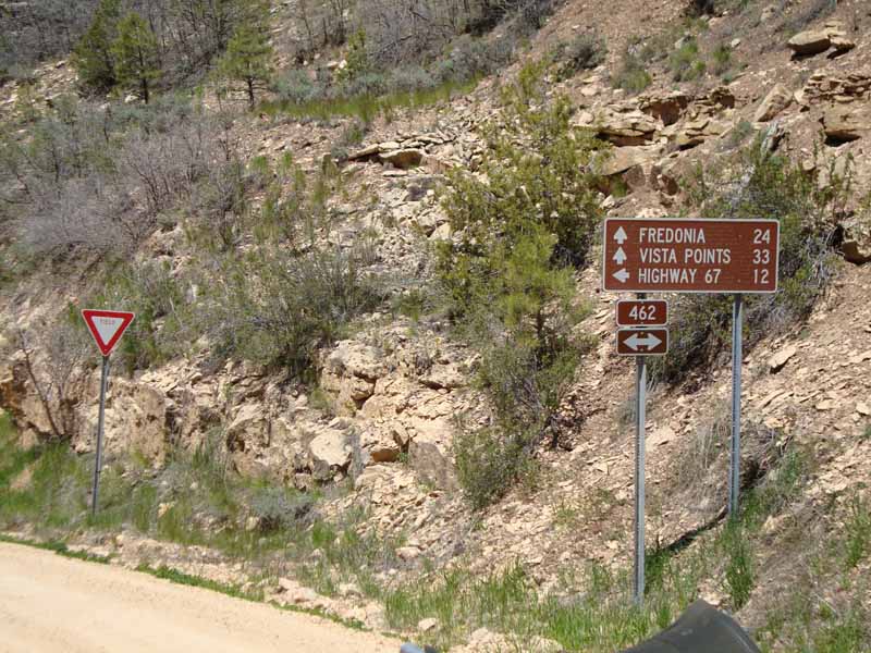 In a couple of miles, 461 drops down a steep slope and intersects (via a "Y" shaped intersection) 462 (also highlighted in Red). Continue west, towards Fredonia. |
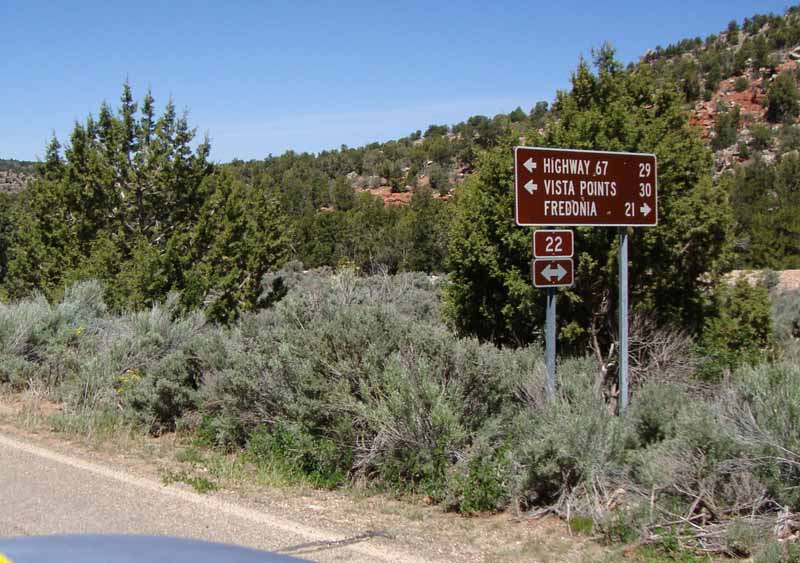 A mile or so later, 462 intersects 22 (a paved road highlighted on the map in Blue). Some of the older maps I have seen list this road as 422. Turn south on 22 towards Vista Points. Shortly after this intersection, there is a very sharp (hairpin) turn. The pavement ends in a short distance. |
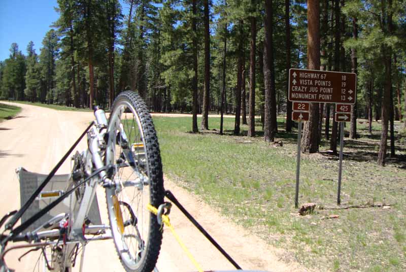 Continue south about 9 miles to the intersection of 425 (highlighted in Purple). Turn west on 425 towards Monument Point. |
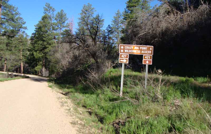 Here are some signs along the way. Crazy Jug Point is close to our destination. STAY ON 425. |
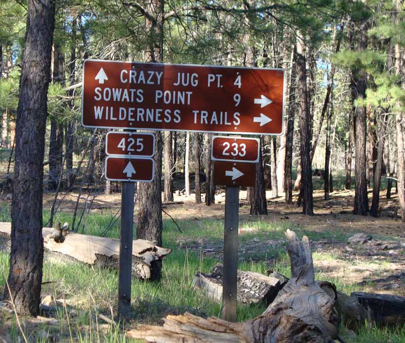 Another sign along the way. STAY ON 425. |
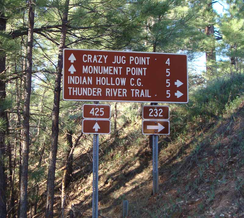 This is a VERY confusing sign along the way. Thunder River Trail joins the Bill Hall Trail under the rim, and they both go to Thunder Spring. The Thunder River Trail is about 7 miles longer than the Bill Hall Trail. DO NOT BE MISLED!! STAY ON 425 to Monument Point. |
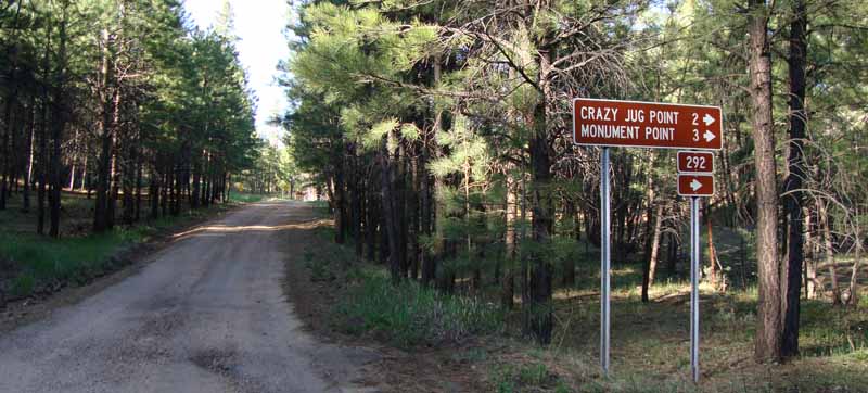 You're getting closer. Turn onto 292 (Also highlighted in Purple). |
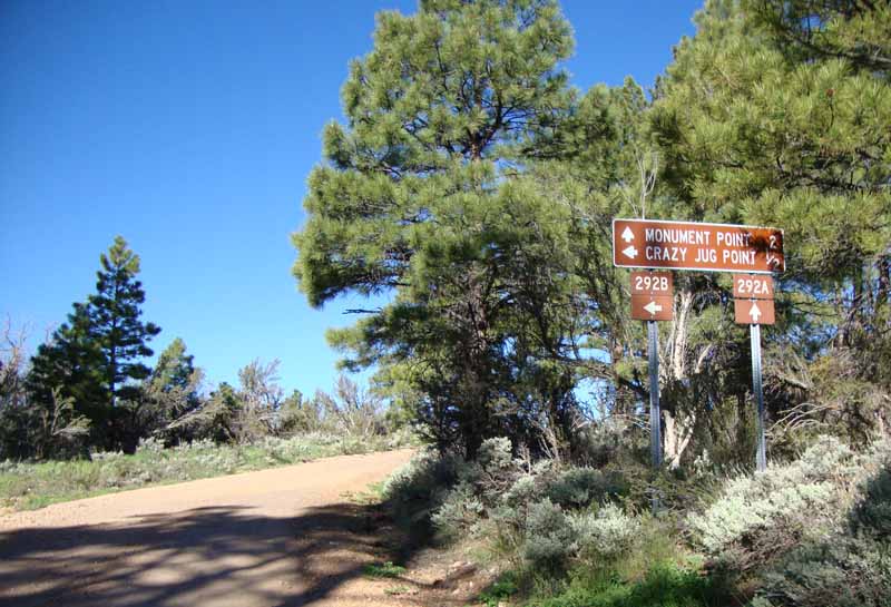 At this intersection, things get a bit confusing. You're on 292, and if you make a right turn, you stay on 292. If you go straight, you're on 292A, and if you turn left, you're on 292B. |
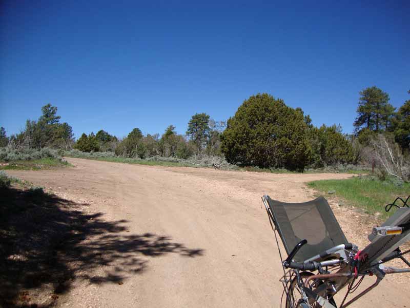 The marker for 292 is hiding behind the dead tree at the right of the photo. |
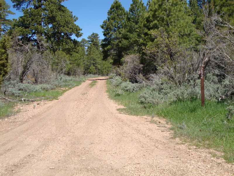 This is a clearer view of that same marker. I think we camped a couple of hundred yards north of this intersection (on 292). |
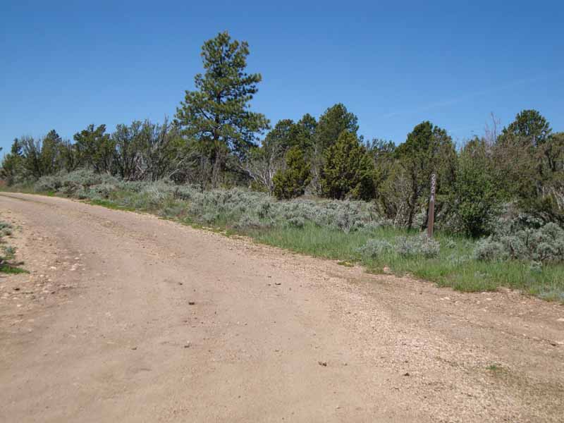 Continuing straight (on 292A) takes you to Monument Point. |
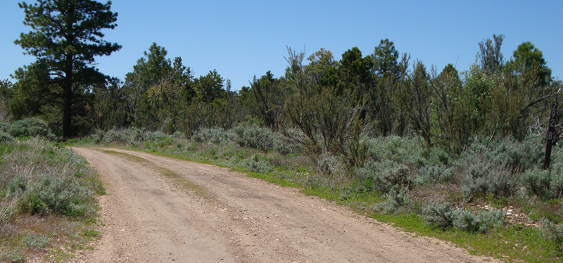 292B doubles back and follows the rim a short distance to Crazy Jug Point (the marker is visible in the photos' extreme right). |
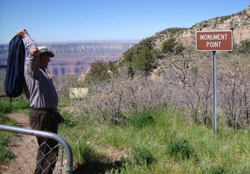 Monument Point (aka Bill Hall Trailhead) is at the end of 292A. Good Luck! |
|
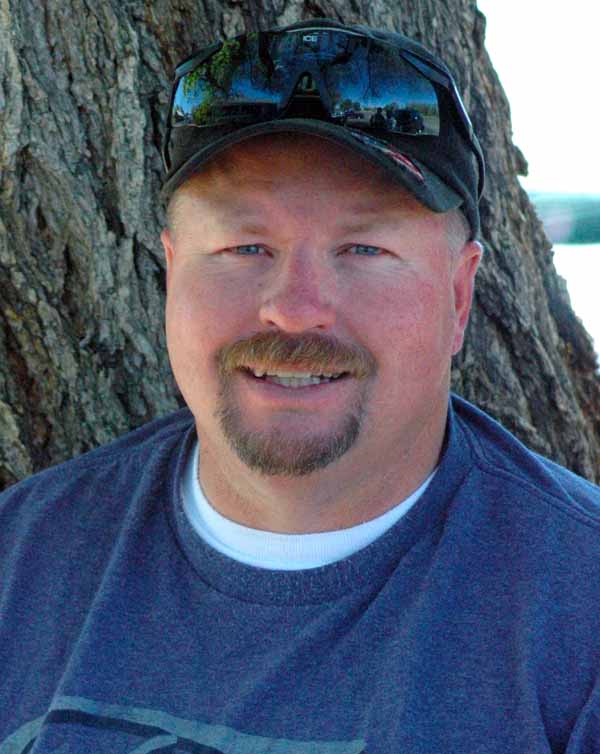
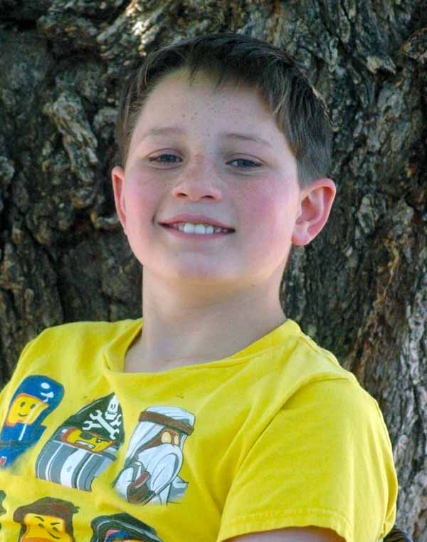
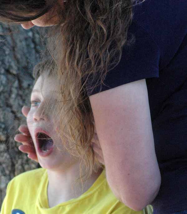
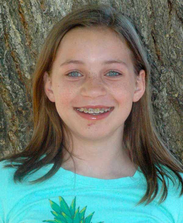
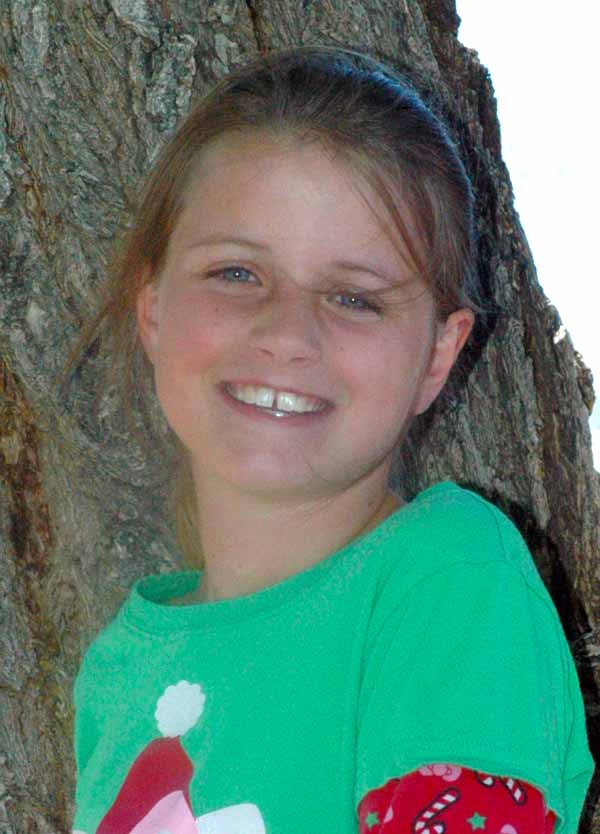
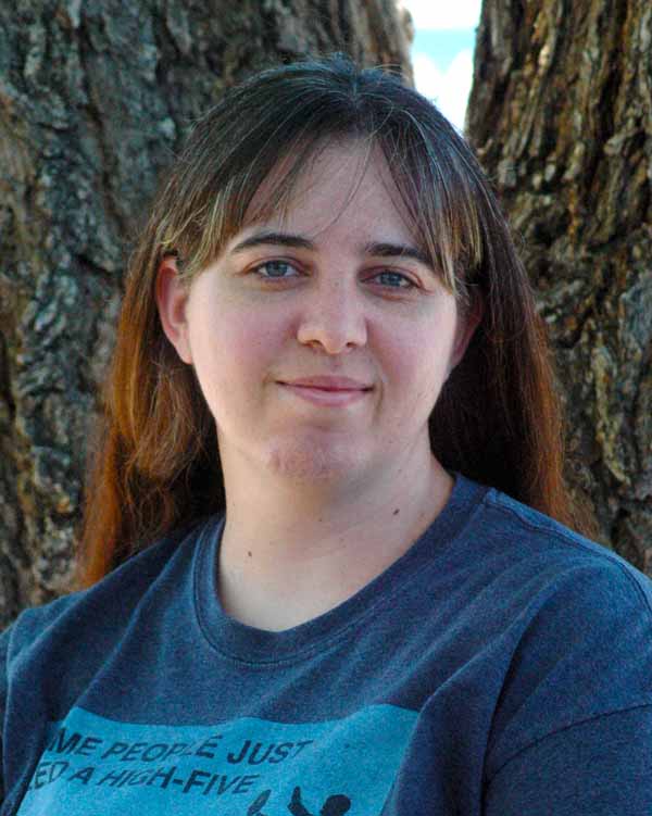
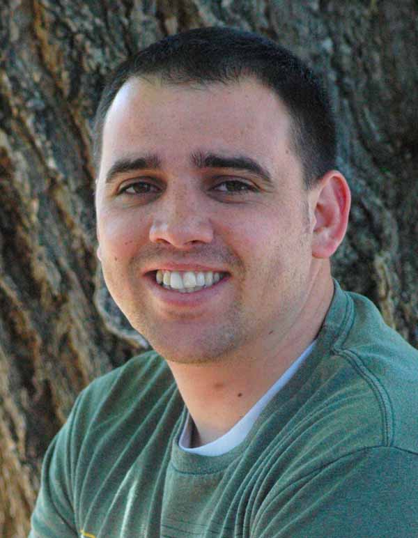
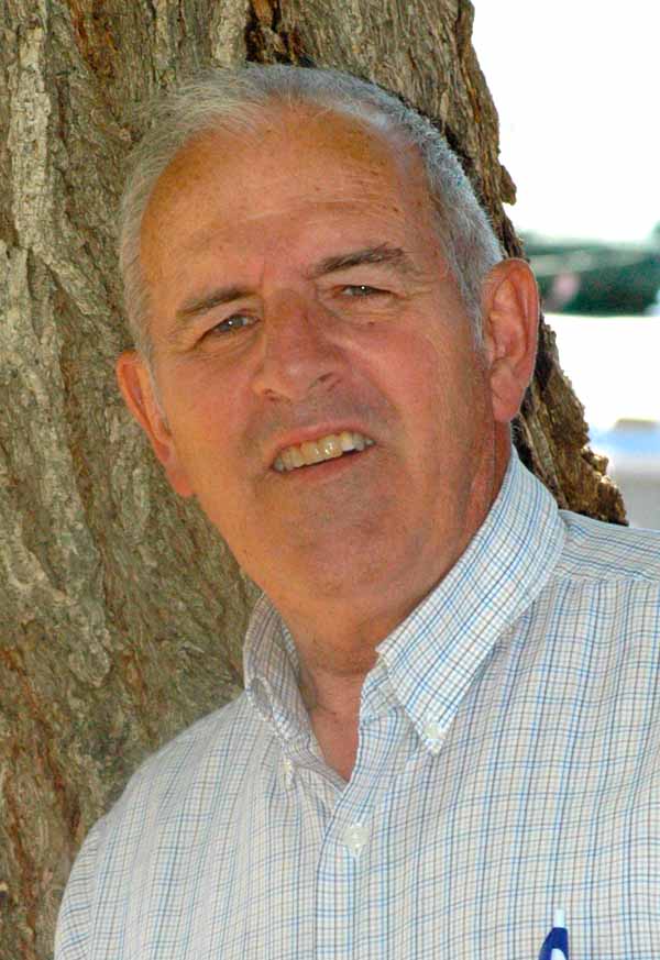
I routinely evaluate my performance in several areas, and I have noted a tendency to bring a camera to family events, only to leave it in my pocket. That doesn't make for stellar photo documentation. With a resolve to modify that habit, and the realization that I had never used the telephoto lens (that was part of the "package" when I purchased my Nikon circa 10 years ago), I determined to attempt some portraits (with the help of Ameilia and Symantha). The best portrait lens is reputedly 105 mm. I guessed at that setting on the telephoto, and the results are presented below.
I suspect the lighting could have been better... |
