|
Below are the food assignments, as proposed by Sabrina (thanks). I plan to bring two coleman stoves (fueled by white gas) and all are welcome to use them. I will also try to fit in one of those plywood tables. As I recall, the forest in that local is mostly pine (and somewhat picked over near the campgrounds), so if you plan on dutch oven cooking, I would recommend bringing charcoal. I will also bring two dutch ovens, such that they will be available if you need more than you have. I am planning food volume to feed eight adults (plus children). It would probably be simpler to bring eating utinsils (plates, forks, etc.) for your own family, as well as sleeping gear, rain gear (heaven forebid!), etc. It makes sense to me to have each family bring their own drinks (mainly because I [unlike many in the family] am a great fan of water [although rumor has it that Nathen might be persuaded to make 5 gallons of Root Beer]).
A word to the wise: Yahoo Weather predicts partly cloudy
Friday, scattered showers Saturday, and partly cloudy Sunday (no forcast for Monday yet). A tarp to cover your tent and possibly a dining fly might be a good idea.
A bit of a conflict has developed. I think each family should bring their own eating utinsils, while Ameilia and Sabrina think the person providing the meal should also provide the dishes. How do you wiegh in on this issue, Terre? (Symantha, if you would come, I would allow you an opinion also[?]).
|
|
.
|
Breakfast
|
Lunch
|
Supper
|
|
Friday
|
OYO (On Your Own)
|
OYO
|
OYO
|
|
Saturday
|
Biscuits and Gravy
|
Philly Cheese Steaks
|
Dad's Family
Lasanga
Corn on the cob
Salad
Garlic Bread
Brownies & Carrot Cake
|
|
Sunday
|
Breakfast burritos
(potatoes, eggs, bacon)
fruit
|
Sandwhiches - turkey ham or pastrami
mayo, must, tomato, lettuce, pickle, olives
apple, chips, cookies
(oatmeal raisin, peanut butter, chocolate chip)
|
Dad's Family
Beef Stew
Fried Bread
Carmel Corn
|
|
Monday
|
Breakfast sandwiches
Pastrami or ham
fruit
|
Sandwhiches - turkey ham or pastrami
mayo, must, tomato, lettuce, pickle, olives
apple, chips, cookies
(oatmeal raisin, peanut butter, chocolate chip)
|
OYO
|
|
|
|
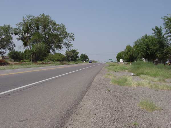
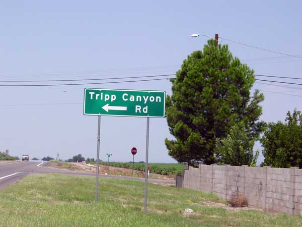
Driving west from Safford on Az Hwy 70, you will pass through the town of Pima (which, by the way has a speed limit of 35, and an agressive town constable who enforces it). As you are leaving town the road turns northwest. At the town limit you will encounter Tripp Canyon road. It is approximately 50 yards west of mile post 330.
|
|
|
|
Make a left turn (which will put you going due west).
|
|
|
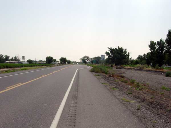
If you are driving east on AZ Hwy 70, at the town limit of Pima, there is a turn lane.
|
|
|
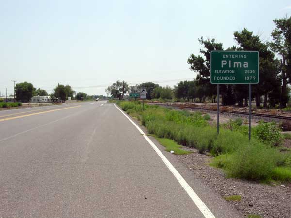
|
This turn lane (although you can't read the sign in this photo) is marked as Tripp Canyon. Make a left turn (which will put you going due west).
|
|
|
Continue driving for about 0.65 miles until you encounter Patterson Mesa Road. Make a left turn (which will put you going south). You have now joined the Patterson Mesa Road route described below.
|
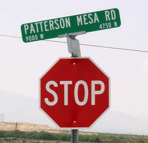
|
|
|
|
|
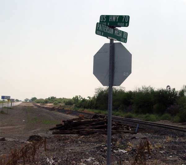
Driving east from Bylas on AZ Hwy 70, the turnoff is not well marked. Although I did not see the actual sign, (given that it is almost exactly 1 mile from the Tripp Canyon Road [described in the first route]) I think it is near mile post 329.
|
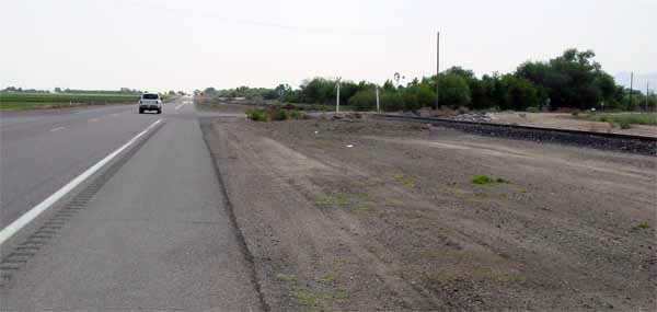
|
|
|
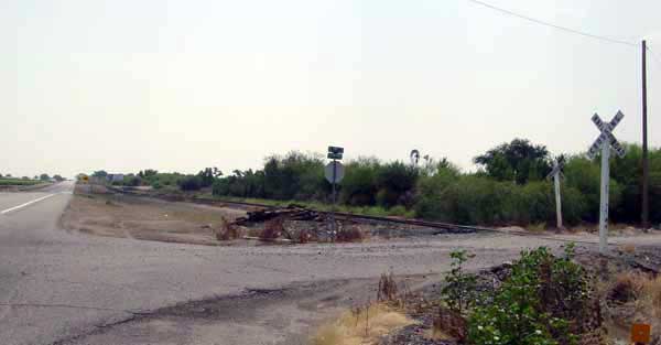
The road sign is small, and is slightly turned such that it is difficult to read from Hwy 70.
|
|
|
If you drive by it before you identify it, I suspect your best course of action would be to drive another mile to Tripp Canyon Road, described in the first route above. The pile of dead railroad ties might be a marker, but they too are difficult to see from any distance.
|
|
|
|
IF YOU TOOK ROUTE ONE, YOU JOIN ROUTE 2 AT THIS POINT.
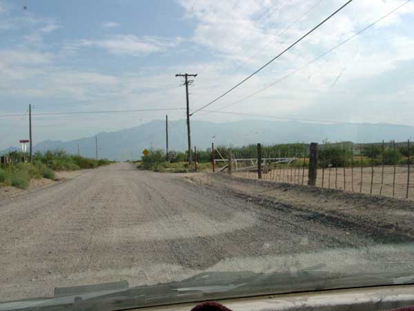
Drive south for perhaps a mile (or about a city block if you joined from route 1),
|
|
|
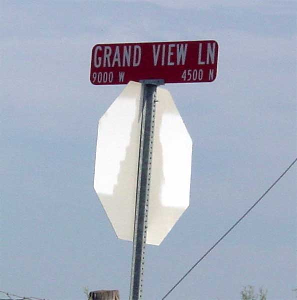
until you come to Grand View Lane. Turn left here.
|
|
|
|
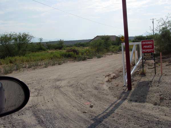
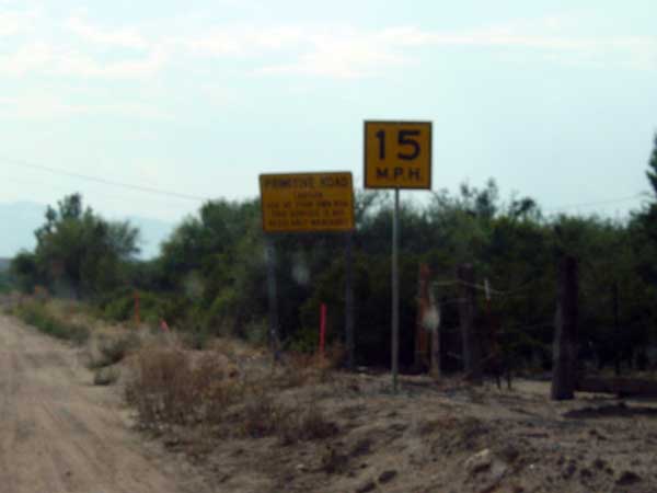
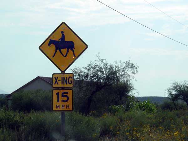
It appears that you will be driving down someones drive way, and the large gate with the stop sign and private property/no trespassing sign is designed to enhance that impression.
|
|
|
These signs are on the right hand side of the driveway (the photo is out of focus, but the back one says, "Primative Road").
|
|
|
|
This sign is on the left of the driveway.
|
|
|
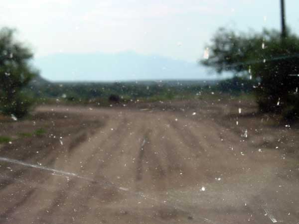
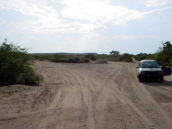
Just past the house, the road turns south, and then in about 25 yards, turns west again.
|
|
|
|
About 25 yards from the turn west, there is a cattle guard, and the road appears to have three forks. Take the one furtherest left.
|
|
|
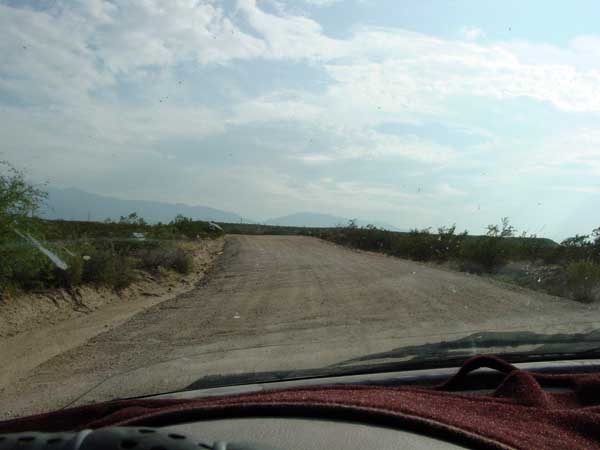
At this point, the road winds up a hill and ends up on top of Patterson Mesa,
|
|
|
|
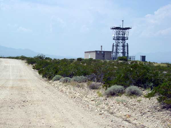
and shortly thereafter passes this microwave (?) installation. Seeing this verifies you are on the right road. The condition of this portion of the road varies from bad to badder. I don't think I got much above 25 MPH.
|
|
|
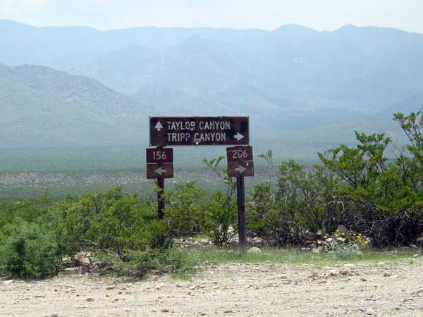
There are several minor roads that depart, but stay on the main road. A few miles later, you come to a signed turnoff to Taylor Canyon. Stay on the road to Tripp Canyon (FS 286).
|
|
|
|
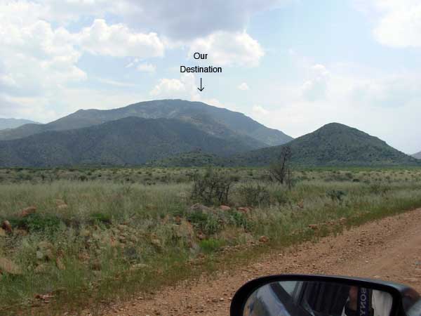
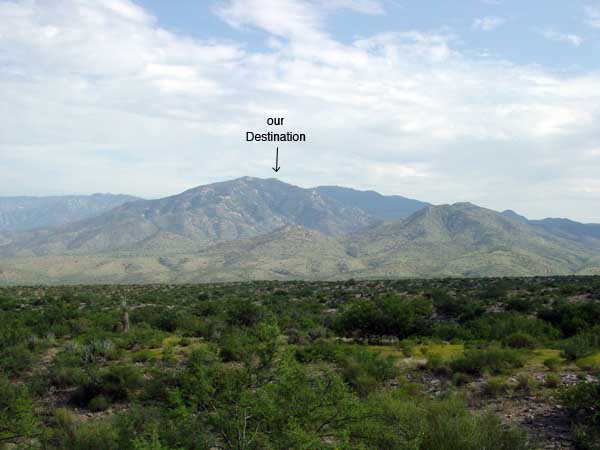
Here is a view of our destination.
|
|
|
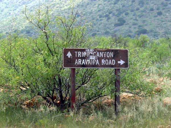
Just before you cross a cattle guard onto the National Forest, the road from Aravaipa (Route 3) joins the Tripp Canyon Road.
|
|
|
|
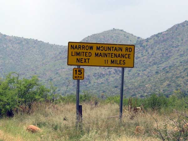
Just past the cattle guard is a sign that is quite literally true. The 15 MPH speed limit is reasonable only if you don't plan on using your vehicle after you return home.
|
|
|
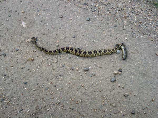
This critter was in the road (already deceased), but be aware that there are snakes in the woods.
|
|
|
|
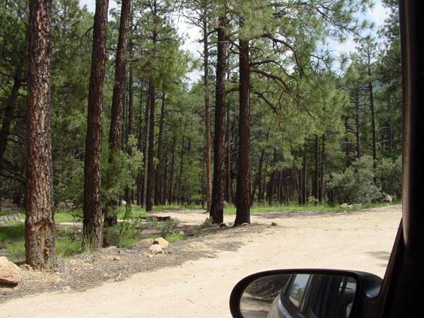
There are two camping areas. The first (7 miles from the top) is fairly low, and situated in an oak grove. This area (3 miles from the top) is in Ponderosa Pine. The difference in elevation is probably a couple of thousand feet. The turnoff here goes back perhaps 400 yards, there is a small pond, and many camping areas. The first party there gets to choose.
|
|
|
|
|
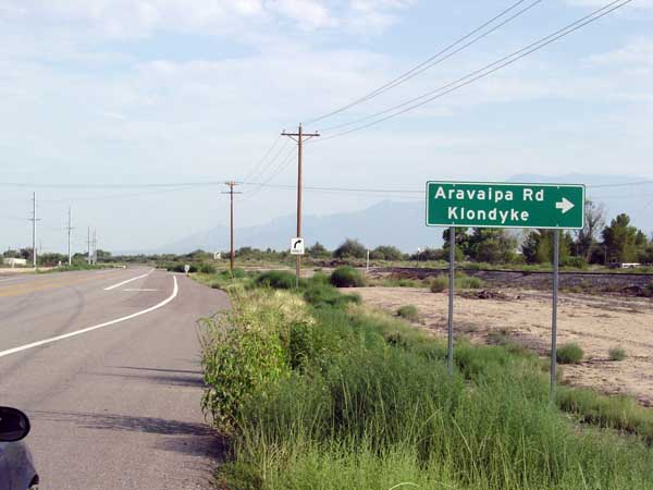
A couple of miles east of Eden, Aravaipa Road turn off AZ Hyw 70, heading south.
|
|
|
|
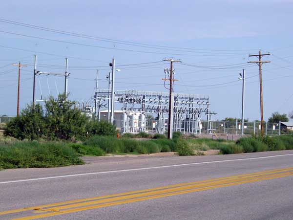
On the other side of the road from the turn off is this collection of power transfromers.
|
|
|
I don't think I would recommend this route. It has a road that is much better, and also worse. The first 12 miles (to the Tripp Canyon turnoff) is smooth and well maintained. I drove it at 45 MPH.
|
|
|
|
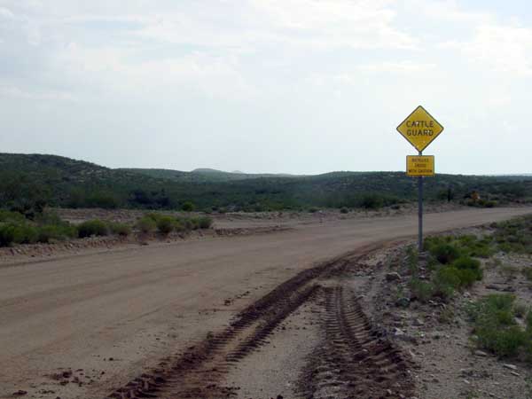
The turnoff to Tripp Canyon is not marked. This sign is at the turnoff (the bottom sign says, "Bicycles cross with caution). The turn is more than 90 degrees (perhaps 125 degrees), and the road condition deteriorates markedly. In a few miles it crosses the Tripp and Underwood Wash, that was quite wide and had perhaps 5 channels. The worst one was about 5 feet deep. I stopped and moved sand (lacking a shovel, I used my hands) for about 10 minutes prior to reving the engine and bouncing across. The chances of getting stuck here are quite high, hence the recommendation against this route. If you think you have enough hair on your chest to handle it, it is shorter and has some road that is quite good. Climbing the other side, the road is rougher still, and it ends at the junction with Tripp Canyon Road (see route 2).
|
|

