|
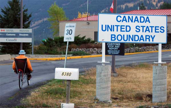
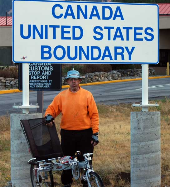
Well, the trip is over, and it is now official. I have followed the lead of David Ellis and traversed the United States border to border without the use of motors. Unlike Dave, however, I did it over a 38 year period, and used a bicycle almost exclusively. |
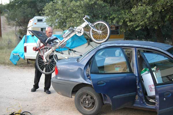
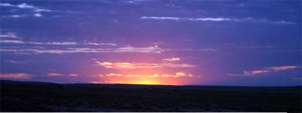
| After work Friday (12 September) I came home, wolfed down the repast Barbara had prepared, packed, and was on my way. I arrived at Nathen's circa 10:30, slept a few hours, and the wheels on our bus were going 'round and 'round a few minutes after 0500 Saturday (13 September). I don't know how she did it, but Terre arose about 4:30, and had biscuits and gravy ready by 4:50. I couldn't do that... |
|
|
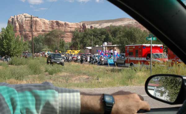
After bidding our farewells, we strapped on the Ford Geo and drove (stopping only for gas [we passed a parade in Bluff, and a "melon festival" in Green River and Nathen wouldn't even let me stop to watch or buy]) until 11 pm that evening (if I did the arithmetic correctly, that is 18 hours) before we stopped a short distance northwest of Anaconda (Google maps puts that distance at 1020 miles). |
| In less than a half hour we had set up the tent and were wrapped in our sleeping bags. In case you were wondering, in Montana, at an elevation of over 6000, it gets cold at night. |
|
|
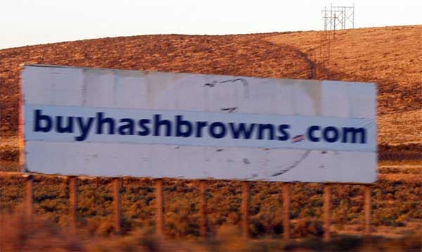
Where in the whole world but Idaho would you encounter a sign like this? |
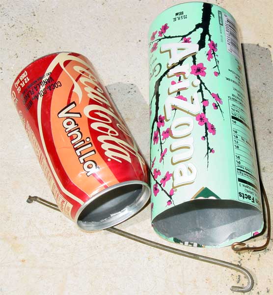
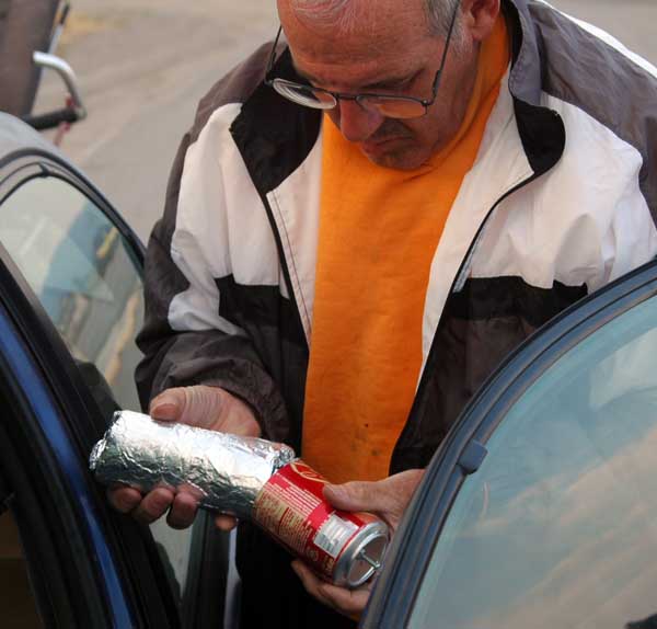
| After thinking and talking about it for the better part of 30 years, I finally did it. Here is Car Oven, Version 1.0, complete with it very own Car Oven Tool. As is evident from the photos, the name implies level of sophistication lacking in the actual product. |
|
|
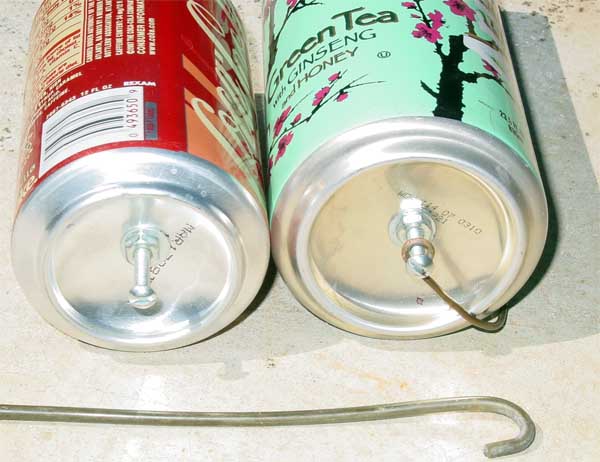
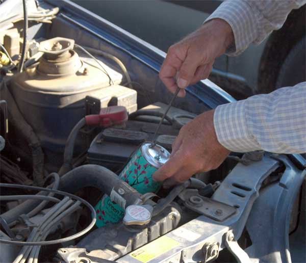
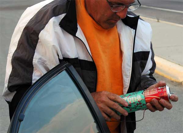
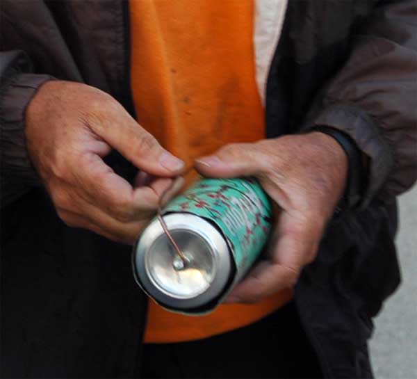
The device consists of two aluminum beverage cans, one a standard 12 fluid ounce Coke can and the other a slightly larger 23.5 fluid ounce can that once held Arizona brand green tea. The cola can easily slides inside the larger can (with perhaps 0.5 cm clearance). In the bottom of each can I affixed a hanger consisting of a 1 inch machine thread screw, 2 nuts, and 5 washers. |
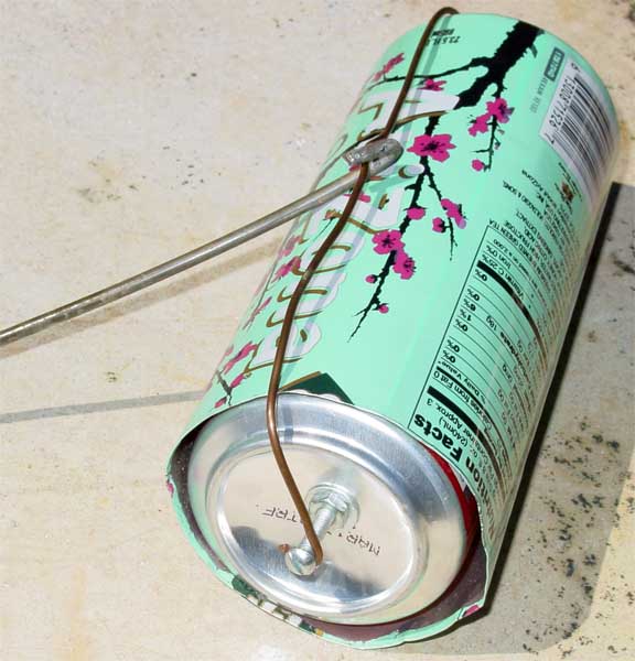
| After inserting the foil wrapped food and sliding the cans together, a piece of copper wire (semi permanently attached to the hanger in the larger can) clips onto the hanger on the smaller can, with enough tension to hold them together. Preliminary testing convinced me this was actually too small, so I progressed to Version 1.1, by cutting the top off the Coke can so it is not longer "necked down." This helps some, but it is still smaller than one might like (particularly in the presence of multiple teenage mouths). |
|
|
I originally thought to suspend it between the AC evaporator and the exhaust manifold, but it didn't fit, so I set it in a cavity behind the radiator and atop the transmission (and yes, the tool works well to retrieve it from this position). |
| For this trip, I prepared bean burros for dinner and breakfast burros for the next morning, rolled them in foil, stuffed them in the oven, and froze them. |
|
|
Once frozen, I removed them from the oven. They retained their shape, making it relatively easy to load them into the oven when it was time to cook. |
| On our first attempts, we let the oven run for about 2 hours, and the final product was just about perfect. Later attempts suggested that the temperature of the product may be a function of external air temperature. On our last attempt we bought some frozen, breaded, (already cooked) chicken fillets. Being frozen, they had unyielding shapes, and we experienced difficulty getting the oven closed. The final result was loss of half the oven (along with its contents) about 200 yards after starting the cooking process. I think I am going to hang the next version on the tail pipe... |
|
|
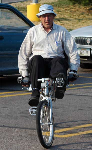
The next morning we arose at daylight (circa 0530) and drove three hours to Polson, our stopping point on the last trip. Here is the official start of the last portion of the ride. |
| We originally planned to drive to Canada and ride back to Polson, as the road lies in the Flathead River Valley (which flows into Flathead Lake), but due to the forecast (thunder showers in Polson the next afternoon) and a relatively strong wind blowing up the valley, we chose to make the ride in the uphill direction. |

|
|
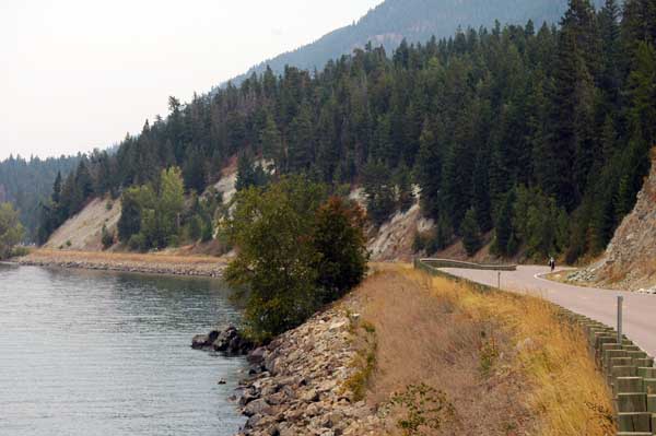
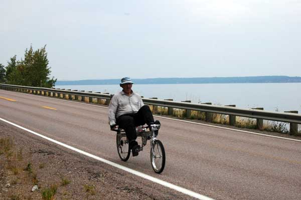
Flathead Lake is about 35 miles long and 15 miles wide, and the road runs through the mountains right along its edge (yes Ameilia, that is me in the distance so this counts as a photo of a person). |
| I was bushed by the time I finished that portion, but after driving 24 hours to get there I had to keep riding, tired or not. There were many cherry and apple orchards along that stretch, and we bought some of both on the way home. |
|
|
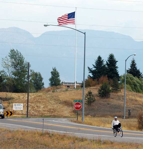
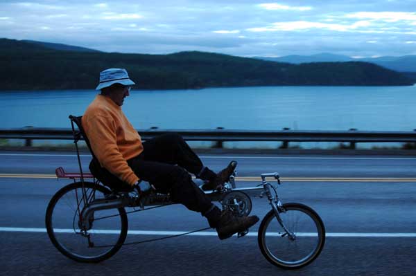
We took highway 35 around the west side of Flathead Lake, then west on highway 82 to highway 93. An abbreviated story of my life can gleaned from comparing my heading with the direction the flag is being blown... |
| There, we turned northwest on highway 93 and rode through Kalispell, Whitefish, and ended up just past Stryker. In all, we covered 101 miles that day. For various and sundry reasons, I hadn't maintained my conditioning so this was more difficult than I had anticipated. I experienced some cramping in both legs, but when that happened, I geared down and pedaled slowly until the cramps went away. At Barbara's insistence, I had brought some Ca/Mg/Zn tablets, and those also helped. We rode until dark, then (after living off the land [fast food at Subway]) we camped in the forest where it rained on us from 2 to 6 am. |

|
|
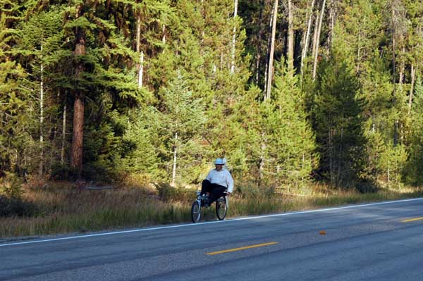
I feared the next day was going to be a wet ride, but that country seems to drain well. In fact, near the Canadian border, earth movers involved in housing construction were creating copious clouds of dust. Rain like that in Arizona would have turned that dust into mud. My tentative conclusion is that as one moves towards the poles, water becomes less wet... |
| Another result of moving toward the poles is that pines trees grow at lower elevations. Eureka is at 2566 feet above sea level, and this portion of the ride was downstream from there. |
|

|
At one of his stops waiting for me, Nathen heard Sasquatch crashing through the underbrush and jumping into a stream, but was unable to get a photo (or even a glimpse). He was, however, able to get a photo of this flock of wild turkey. |
| Here is the magic moment, captured on the electronic equivalent of film. |
|
|
Things change as you age. On the first half of this trip in 1969, it never occurred to me that I might not be able to ride from Provo to Mexico. I was busy with the events surrounding graduation from BYU and I didn't prepare for it at all. I just went and did it. On the trip's last half, I didn't really think I could ride that far. Neither the calendar, the mirror, nor the scales lie. The fact is, I am a fat, old, man. I prepared (with more or less rigor) for more than two years, and I still didn't believe it possible. Making this ride serves no useful purpose that I can think of, but I am still glad I did it. |
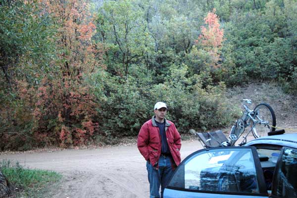
| After a few moments of philosophizing, it was back into the car for the next 12 hours, until we camped off a dirt road outside of Wallsville, Utah. It was almost midnight when we arrived, so we pitched the tent and went to bed. The next morning, it was evident from the vegetation that fall had already arrived. |
|
|
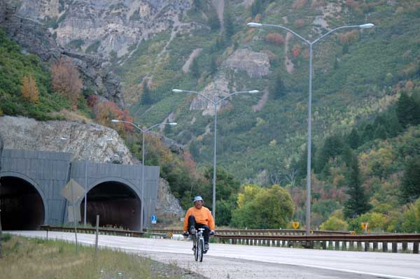
The final leg was to finish riding through the construction site in Provo Canyon that we skipped on the first trip (too dangerous). It was not completely finished, but most of both lanes were paved (it will be a divided highway) and they had all the traffic confined to one lane while they worked on the other. I rode in the closed lane and had it all to myself most of the way. |
|
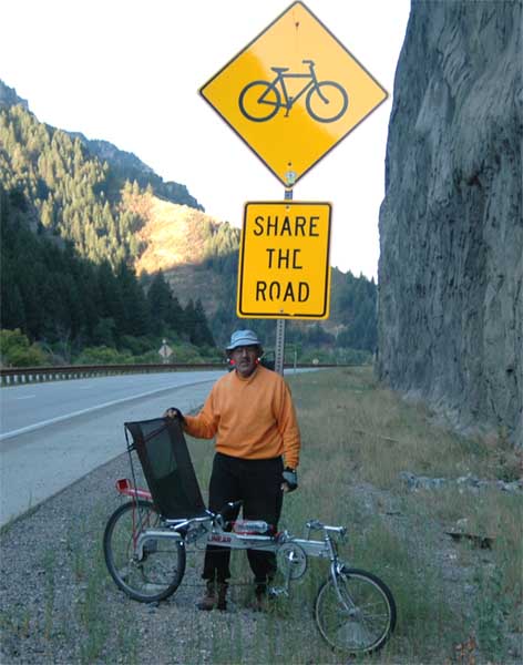
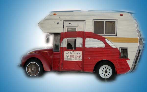
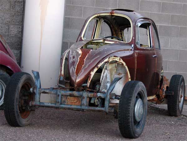
There were workers with signs stopping traffic to allow machinery to pass, and I thought they might object to me riding in the closed lane, but one of them even waved me on and held up traffic while I rode the last 500 yards of construction. Since that was the most constricted section, I thought that was very nice. This sign was located near the point where we quit riding, and I thought it apropos. Passing through Holbrook, we encountered a scene that I though might appeal to the car lovers in the family. I give you... |
|
|
The Volkswagen Camper... |
| The Volkswagen Stretch Limo... |

|
|
And the Volkswagen Race Car. |